Unveiling Mercury's Polar Secrets: New Thermal Model Maps Potential for Water Ice
7 minutes Read
Introduction
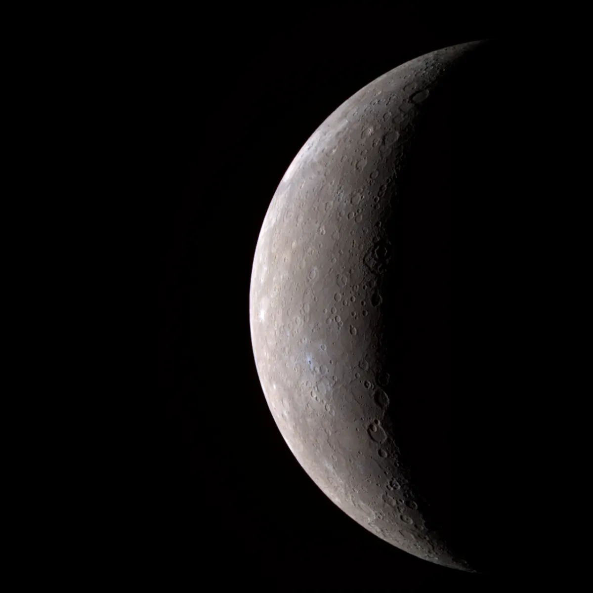
For years, scientists have debated the possibility of water ice existing on Mercury, the planet closest to the Sun. Despite its scorching daytime surface temperatures, the extremely cold and permanently shadowed regions (PSRs) found in near-polar craters could theoretically harbor this frozen water. These PSRs are shielded from direct sunlight due to Mercury's minimal axial tilt and the surrounding topography. Radar observations have detected extensive areas of radar-bright deposits in these polar regions, which are consistent with the presence of water ice. To better understand these conditions, researchers have adapted and extended a thermal model, incorporating new methods to handle indirect radiation, the effect of the Sun's limb darkening, and subsurface depth profiles.
The goal of this study was to enhance an existing thermal model to adaptively manage terrain scattering and re-radiation. Furthermore, the study aimed to move away from fixed, manually chosen discretizations for solar limb darkening and depth profiles, making them adaptive and applicable to various planets and research purposes. By utilizing data from the Mercury Laser Altimeter (MLA), the team has generated detailed temperature maps of Mercury's north polar region, providing new insights into the potential for water ice accumulation.
Adaptive Thermal Modeling for Mercury's Poles
To accurately model temperatures on Mercury's surface, researchers employed digital terrain models (DTMs) derived from data collected by the Mercury Laser Altimeter (MLA). The MLA gathered a vast number of range measurements, creating a consistent polar DTM with a resolution of 250 meters per pixel. Due to the sheer size of this dataset, the DTM was divided into 100 square tiles, each measuring 200 by 200 kilometers, covering a total area of 2000 by 2000 kilometers. This tiling scheme allowed for manageable processing of the data.
The thermal model itself simulates the balance between direct and indirect radiation (scattered and re-radiated), conduction into the subsurface, and re-radiation into space. Key input parameters for this model include horizon maps, which describe the highest visible elevation from each point, and visibility maps, which detail the actual visible terrain and its geometry relative to an observer. The model also accounts for the solar limb darkening effect, which describes how the Sun's intensity varies across its disk, and the discretization of the depth profile, which defines how temperature is calculated at different subsurface levels.
Enhancing Computational Efficiency and Accuracy
A significant challenge in thermal modeling of planetary surfaces is the computational demand, especially when dealing with large datasets and complex interactions like terrain scattering and re-radiation. To address this, the researchers implemented a "level-of-detail" (LOD) approach for visibility maps. This method reduces the resolution of terrain data with increasing distance from the observer, thereby lowering memory usage and processing time. For instance, a visibility map covering a 60x60 km area with two LODs, where the outer regions have reduced resolution, could halve the required memory compared to a previous method that maintained full resolution across the entire area. This LOD approach demonstrated a memory reduction of approximately 55% while keeping temperature residuals below 0.5 Kelvin compared to a benchmark model.
The study also refined the modeling of the solar limb darkening effect. Previous models, sufficient for the Moon, proved inadequate for Mercury due to its much closer proximity to the Sun and a consequently larger apparent solar disk. By discretizing the solar disk into 30 rings, the researchers achieved temperature residuals below 0.5 Kelvin, a significant improvement over the five-ring discretization previously used, which resulted in residuals greater than 2 Kelvin.
Furthermore, an improved approach for defining the depth profile was introduced. This method uses an exponential function to distribute nodes, placing more nodes closer to the surface where temperature changes are more rapid and fewer nodes at greater depths where changes are slower. This approach provides a finer resolution of temperature distribution in the shallow subsurface and leads to more accurate temperature estimates compared to manually chosen or regularly spaced node profiles.
Mapping Mercury's Polar Temperatures and Ice Potential
Using the refined thermal model and the complete north polar MLA DTM, the researchers generated average and maximum temperature maps, as well as depth-to-ice maps for Mercury's north polar region. This is the first time such detailed thermal modeling has been performed for the entire polar MLA DTM, particularly for latitudes above 85° North, which were previously undersampled.
The resulting temperature maps revealed that Mercury's spin-orbit resonance, which causes distinct "hot" and "warm" longitudes, is clearly reflected in the temperature distribution. Notably, for several craters within the "big five" (Prokofiev, Kandinsky, Tolkien, Tryggvadόttir, and Chesterton), temperatures were found to be below 112 Kelvin. This temperature threshold is considered stable for water ice to exist over geological timescales. These findings strongly support the radar observations that have identified radar-bright deposits within these specific craters, suggesting the presence of water ice.
Conclusion
This study successfully updated and validated a thermal model, enabling accurate temperature estimations for Mercury's north polar regions. The implementation of an adaptive level-of-detail approach for terrain scattering and re-radiation significantly reduced memory usage while maintaining high accuracy. A refined analysis of the solar limb darkening effect demonstrated the necessity of a higher degree of discretization for Mercury due to its proximity to the Sun. The new exponential depth profile approach provided superior results, especially in the shallow subsurface. For the first time, complete thermal maps of the polar MLA DTM were generated, highlighting areas, particularly in craters like the "big five," with temperatures conducive to stable water ice. These findings provide crucial support for radar observations and pave the way for future in-depth investigations into the correlation between thermal conditions and radar-bright deposits on Mercury.
Original source: "https://www.aanda.org/articles/aa/full_html/2022/08/aa43812-22/aa43812-22.html"