Cedar Breaks National Monument: A Geological Tapestry from Above
7 minutes Read
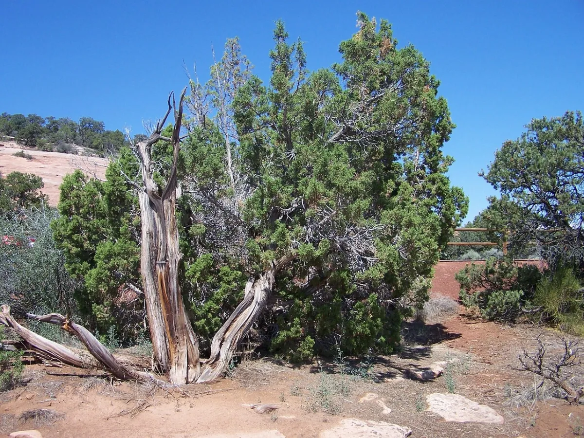
image: Image by dagordon on Pixabay
Introduction
When visitors stand at the rim of the amphitheater in Utah's Cedar Breaks National Monument, they are looking across tens of millions of years of Earth's history. This otherworldly landscape is characterized by multicolored rock spires, pinnacles, and other geological oddities. The same perspective of deep geological time is offered when viewing this bowl-shaped escarpment from space. The Operational Land Imager-2 (OLI-2) on board Landsat 9 captured this striking view of the amphitheater's semicircular rim and its deeply eroded drainages on June 18, 2025.
Shaping the Landscape: Water and Weathering
The erosive power of water, particularly from Ashdown Creek and its tributaries, has played a significant role in shaping Cedar Breaks. Coupled with relentless physical and chemical weathering, water has carved out the numerous channels, cliffs, and canyons that radiate outward from the rim, defining the escarpment and the amphitheater. These forces have sculpted the unique geological formations that draw visitors and scientists alike.
Layers of Time: Sedimentary Formations and Ancient Lakes
The striking rock formations at Cedar Breaks are composed of sedimentary rock layers. These layers were laid down approximately 50 to 25 million years ago within a basin that, at various times, was occupied by a large body of water known as Lake Claron. Many of the amphitheater's limestone layers originated as sediments that settled on the lakebed, forming carbonate-rich muds. The distinct differences in rock type and color, visible in the layering, reflect variations in environmental conditions during their deposition. For instance, Lake Claron experienced periods of varying depth; it was sometimes quite deep, but during drier intervals, it became shallow or even disappeared. In wet conditions, the iron present in muddy sediments had limited exposure to oxygen, preventing oxidation or rusting, which resulted in white or gray rock layers. Conversely, during drier periods, iron in the sediments had greater access to oxygen, leading to the formation of minerals that imparted red and orange hues to the rock layers.
Uplift and the Grand Staircase
Following this period of deposition, slow-moving tectonic forces gradually lifted all these rock layers upward. This uplift ultimately positioned them at the top of the Grand Staircase, an immense sedimentary sequence that extends southward from Cedar Breaks and Bryce Canyon, traversing through Grand Staircase-Escalante National Monument and Zion Canyon, and culminating in the Grand Canyon. Within this sequence, younger rock layers are found at the top, while older layers are situated at the bottom. The rim at Cedar Breaks, marking the apex of this staircase, stands at an elevation of approximately 10,000 feet (3,000 meters) above sea level, roughly 7,000 feet higher than the Colorado River in the Grand Canyon.
High Elevation Ecology: Bristlecone Pines and Harsh Conditions
The high elevation of Cedar Breaks significantly influences its environment, affecting everything from the local weather patterns to the flora and fauna that inhabit the area. Winters are characterized by prolonged cold spells and heavy snowfall, with nearby Brian Head receiving an average of 30 feet (10 meters) of snow annually. While these cool temperatures and short growing seasons present challenges for many types of vegetation, the slow-growing and exceptionally long-lived bristlecone pines found along the escarpment's rim have adapted to thrive in these harsh conditions. Their slow growth rate results in unusually dense wood, which provides them with protection against diseases and insects. Furthermore, their ability to survive in thin soils and on mostly barren limestone outcrops, where few other plants can establish, shields them from wildfires. Some of the oldest bristlecone pines within the monument are estimated to be over 1,700 years old.
Volcanic Echoes: Lava Flows and Pyroclastic Deposits
Resting atop the extensive sedimentary layers, evidence of a more volcanically active past is also apparent in the landscape. The dark basaltic lava flows visible to the east of the amphitheater were formed between 5 million and 10,000 years ago, during a period when several volcanoes on the Markagunt Plateau were frequently erupting. Areas of soft, gray rock found around the summit of Brian Head, now home to a ski resort, originated from pyroclastic flows that deposited tuff, a volcanic rock, across the terrain.
Conclusion
Cedar Breaks National Monument, as captured by Landsat 9, offers a remarkable view of geological processes that have unfolded over millions of years. From the erosive power of water to the deposition of ancient lake sediments and the subsequent tectonic uplift, the landscape tells a story of Earth's dynamic history. The resilience of life, exemplified by the ancient bristlecone pines, further highlights the unique environmental conditions shaped by the monument's high elevation and geological past, with echoes of volcanic activity adding another layer to its complex story.
Original source: "https://science.nasa.gov/earth/earth-observatory/an-amphitheater-of-rock-at-cedar-breaks/"